Route 66 at 100: It Was Supposed to Be Route 60
Woody Magazine
We write the things that aren't news
Nov. 5, 2026 (Thu.)
Route 66 at 100: It Was Supposed to Be Route 60
The committee that handed out the numbers broke its own rule, and fixing it left one spare number: 66.
At a Glance
This story in six cards.Swipe to see more →



In the summer of 1926, ballots on file with the national association of state highway officials picked up a pen mark. Someone drew a short stroke across the zero in “60” and turned it into “66.” That stroke is how the road we now call Route 66 got its number on paper.
Next Wednesday, Nov. 11, the road turns 100. Tulsa is throwing a downtown street party alongside its Veterans Day parade, and Springfield, Illinois, is holding a statewide celebration. Route 66 ran 2,448 miles from Chicago to Los Angeles, through eight states, under a single number. A driver could follow the same shield from the first mile to the last.
There is a familiar story about why the number is 66. The road was supposed to be Route 60, it goes, until the governor of Kentucky muscled in and took the number for his own state. It is an easy story to remember, with one politician as the spoiler. The highway history kept by the Federal Highway Administration runs the other way. Kentucky’s complaint had the rulebook on its side. The people handing out the numbers had bent the rule first.
Numbers that end in zero
Until the mid-1920s, the roads that crossed state lines had names, not national numbers. Private boosters promoted routes like the Lincoln Highway and marked them by painting colored bands on roadside poles. By one federal count there were more than 250 of these trail associations. In 1925, state and federal officials set up a joint board to replace the names with numbers.
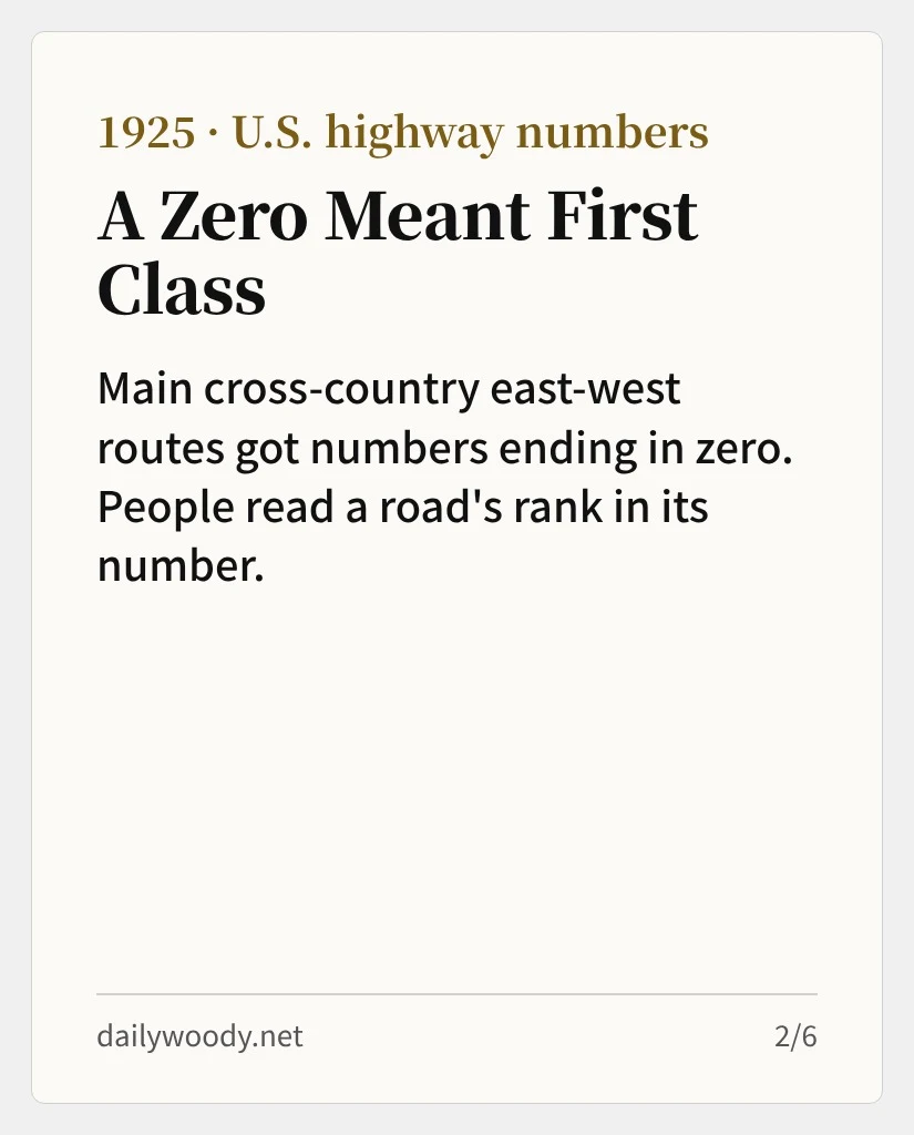
The scheme came from Edwin W. James, the design chief at the federal Bureau of Public Roads. North-south routes got odd numbers and east-west routes even ones. The east-west numbers grew from the Canadian border southward, and the main transcontinental routes got numbers ending in zero. The main north-south routes got numbers ending in one. A driver could look at a number and know roughly where in the country the road ran.
If the numbers had only told drivers where a road ran, nobody would have fought over them. The obvious guess is that a good number came with money. A senior Pennsylvania highway official thought so at the time and complained that his state had been shortchanged. He had misread the plan. No state got more federal aid for having more numbered routes.
People read rank into the numbers anyway. Routes ending in zero or one looked first class, other two-digit routes looked second tier, and a three-digit number seemed to send a town into what the federal history calls “tourist purgatory.” A merchant in Springerville, Arizona, gave a sense of why in a December 1925 letter to the secretary of agriculture, whose department then oversaw the roads bureau. Strangers on the road, he wrote, follow the government signs. His fear was that once through traffic moved to the numbered route, the garages, hotels and stores in the towns it skipped would lose their customers.
Think of a shop on Main Street. The city does not pay the owner to be there, and the side street a block away plays by the same rules. The foot traffic still passes the Main Street window. In 1926, a number ending in zero was a Main Street address.
Everyone wanted the better address. The American Association of State Highway Officials, or AASHO, the body through which the states ran the system, spent most of 1926 working through the requests.
A 60 that curved toward Los Angeles
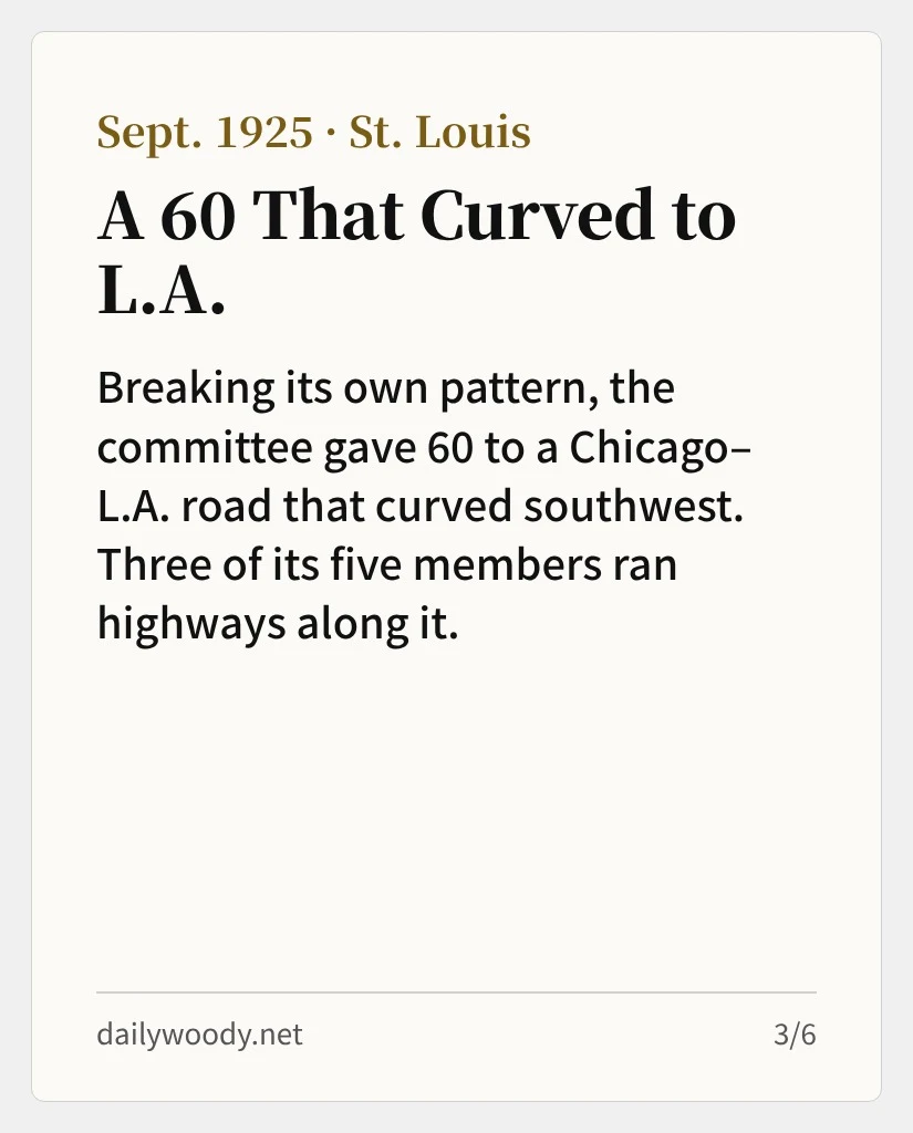
The zero rule had one exception from the start. In September 1925, a five-member numbering committee met in St. Louis and gave 60 to a route that curved southwest from Chicago to Los Angeles. By the plan’s own logic, 60 belonged to a road running straight across the country between U.S. 50 and U.S. 70. The federal history singles it out as the plan’s most glaring departure from its own pattern.
The committee had a case. The route crossed most of the transcontinental highways and was bound to be one of the busiest in the system. The federal record adds one more detail. Three of the five committee members ran the highway departments of states the road passed through: Illinois, Missouri and Oklahoma. That, the history notes, made the exception look suspicious.
This is where Kentucky came in. Gov. William J. Fields complained that Kentucky was the only Mississippi Valley state without a single route ending in zero. On Jan. 25, 1926, he brought his state’s congressional delegation to Washington to see Thomas H. MacDonald, chief of the Bureau of Public Roads. Whatever the merits of his other grievances, the federal history concludes, Fields was on solid ground about 60. He was objecting to a number the committee had placed outside its own plan.
Faced with a governor and his congressional delegation, MacDonald and James gave way. They moved 60 to a road running from Newport News, Virginia, through Kentucky to Springfield, Missouri, and renumbered the Chicago-to-Los Angeles route 62. Then Oklahoma and Missouri revolted. Missouri had already printed maps showing U.S. 60, and Oklahoma had made the signs. Cyrus Avery, chairman of the Oklahoma highway commission, sent an angry telegram. B.H. Piepmeier, Missouri’s chief highway engineer, turned down 62, and then a compromise that would have labeled only the Chicago end 60 North.
4 p.m., April 30, 1926
The fight dragged on for more than three months before a way out turned up in Springfield, Missouri. On April 30, Avery, Piepmeier and John Page, Oklahoma’s chief highway engineer, sat down together, most likely at the Colonial Hotel downtown. Avery suggested looking for a number no one had claimed, and Page went through a list of unused numbers in a report from AASHO’s staff.
Page proposed 66. At 4 p.m., Avery and Piepmeier wired MacDonald that if the other states along the route accepted 66 in place of 60, they would agree to the change. They closed with a line of their own: they preferred 66 to 62.
It is often said that Avery liked the sound of 66. His biographer, Susan Croce Kelly, thinks that may have played a part. That is her guess. The record shows only that 66 was free.
Kentucky signed on in July. Avery wrote James to thank him and added that the U.S. 60 shields already standing along the road would have to be junked. AASHO’s executive committee approved the deal in the first week of August. The pen mark on those ballots is what the decision looked like on paper.
Nov. 11, 1926
AASHO adopted the national system on Nov. 11, 1926, at its annual meeting in Pinehurst, North Carolina. It was Armistice Day. A year of granting state requests had added more than 20,000 miles to the network, bringing it to 96,626. Just before the vote, James admitted to the meeting that local bargaining had bent the plan.
“The worst ones are due to efforts to meet narrow local viewpoints.”
He still urged the states to stop tinkering. Thirty-two of them were nearly done posting signs or well into the job, and every new change meant pulling some down. The number 66 was there to stay.
The legend came later, from the people who drove the road. Families fleeing the Dust Bowl and the Depression took it west in the 1930s, and in 1939 John Steinbeck called it “the mother road” in “The Grapes of Wrath.” In 1946, Nat King Cole had a hit with Bobby Troup’s “(Get Your Kicks on) Route 66.” The road also picked up a nickname that would have pleased the merchants of 1926: the Main Street of America.
The two numbers went opposite ways. AASHO extended Kentucky’s 60 to Los Angeles in 1931, and the road still runs from Virginia to Arizona. Route 66 lost its traffic to the interstates, and on June 27, 1985, the association, by then called AASHTO, struck the number from the system. It had lasted 59 years.
In 1926, Americans believed a number set a road’s rank. That belief was in the room where the numbers were handed out, too, and that is where the rule bent first. Straightening it out left one spare number. The road that got the zero is still on the map. The one people remember as Main Street was the stand-in.
Sources
- Source ↗ FHWA, “From Named Trails to U.S. Numbered Highways,” Part E
- Source ↗ FHWA, “From Named Trails to U.S. Numbered Highways,” Part F
- Source ↗ Richard F. Weingroff, “U.S. 666: Beast of a Highway?” FHWA
- Source ↗ FHWA, National History Day Competition: Route 66 Exhibit
- Source ↗ Springfield, Missouri, Convention & Visitors Bureau, “The History of Route 66”
- Source ↗ Missouri State University Libraries, “Birthday of Route 66 Celebration”
- Source ↗ Encyclopaedia Britannica, “Route 66”
- Source ↗ HISTORY, “Route 66 decertified”
- Source ↗ Encyclopedia of the Great Plains, University of Nebraska–Lincoln, “Route 66”
- Source ↗ VOA Learning English, “Historic Route 66”
- Source ↗ Gribblenation, “Former US Route 60 and US Route 70 in Quartzsite”
- Source ↗ Oklahoma Historical Society, Route 66 Centennial Events Calendar
- Source ↗ Visit Springfield (Illinois), Route 66 Centennial Celebration
- Susan Croce Kelly, “Father of Route 66: The Story of Cy Avery,” University of Oklahoma Press, 2014
댓글
댓글 쓰기